Local walks
Walks in and around Markinch
Whether a visitor or local, each walk gives a flavour of some of the history of the area while taking you through interesting and often beautiful landscapes. The walks in the left hand columns below range from 1 1/2 to 10 miles return. Avoiding roadways where possible most are also suitable for cycling. Each walk is fully detailed with an accompanying map as well as access to an online map of the route.
Our flagship walk is the Braes Loan Trail which has an accompanying leaflet and interpretation boards. Its own dedicated page can be found here. Other walks are also listed below, in the right hand column, some provided by our partners. All feedback welcome.
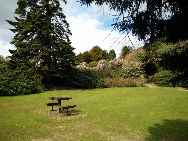
The three circular Balbirnie routes below give a feel for this special landscape with its noteworthy specimen collection and history. Balbirnie is included in the HES Inventory of Gardens and Designed Landscapes.
The second and third walks are based around the first but with an extra highlight. The park also has many criss-crossing paths you may wish to explore.
|
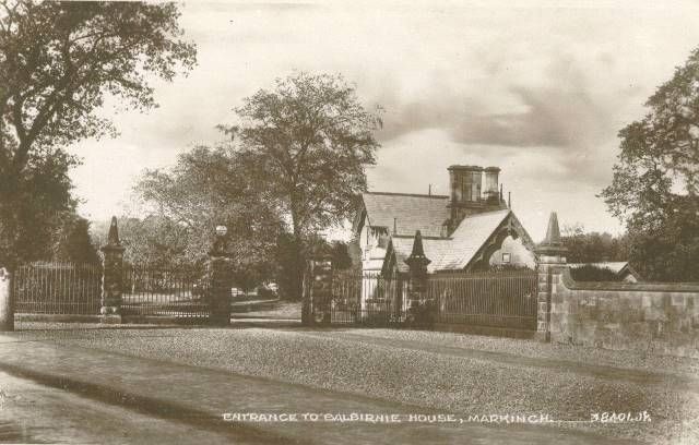
Balbirnie - some background information A brief introduction to Balbirnie Park [download] |
|
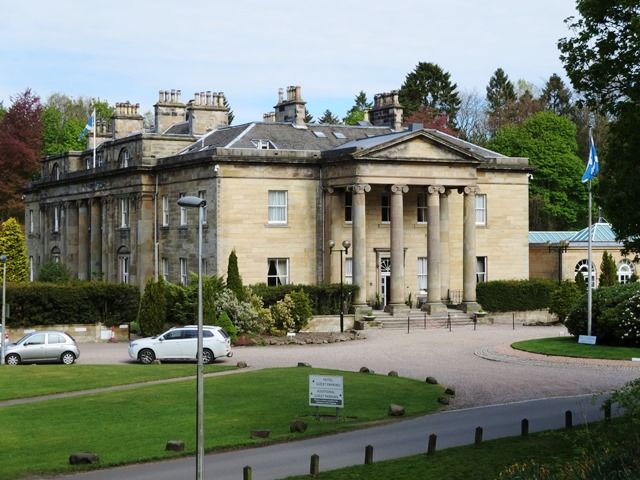
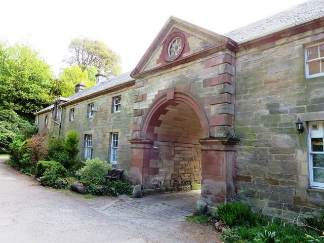
Balbirnie Circular - Route 1: 1 1/2miles/2.4km A beautiful woodland walk with picnic sites and taking in former stable block and Balbirnie House. [Walk & Map] |
|
Balbirnie Circular - Route 2 via Fir Hill: 2miles/3.4km As Route 1 but includes view from Fir Hill, the highest point in Balbirnie Park. [Walk & Map] |
|
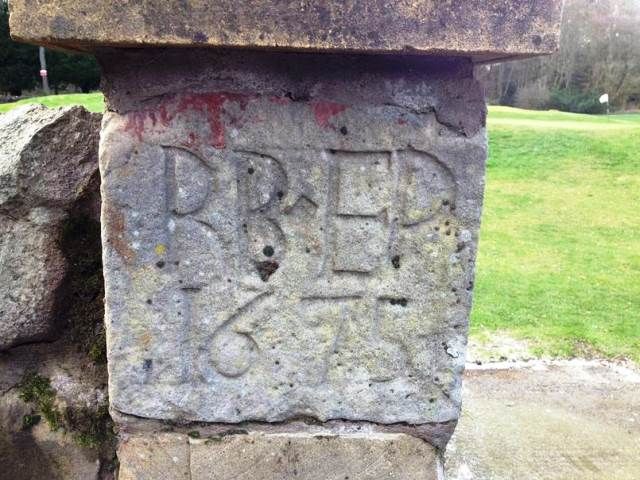
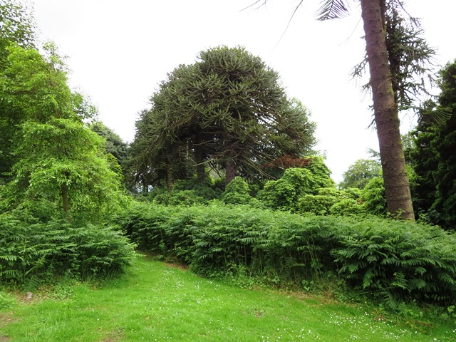
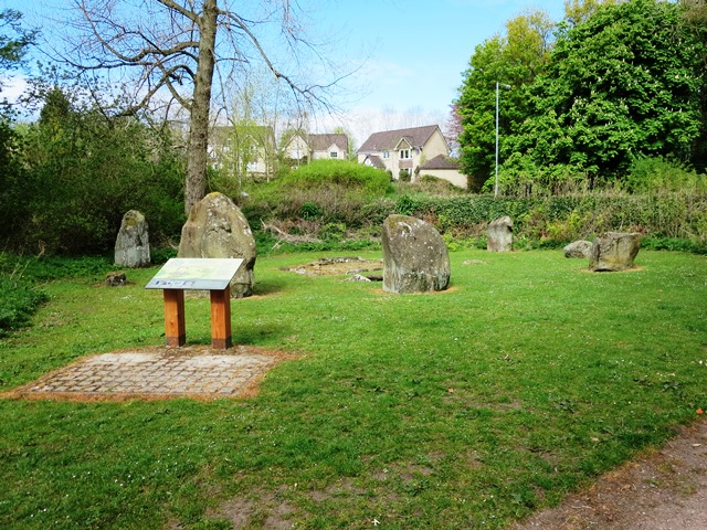
Balbirnie Circular - Route 3 via Stone Circle: 2 1/2 miles/3.7km As Route 1 but includes the ancient Balbirnie Stone Circle. [Walk & Map] |
|
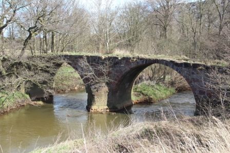
Balgonie Castle Circular Walk: 4 miles/6.1 km The route takes in Balgonie Castle with views to Cuinin Hill, Largo Law and the Lomond Hills. [Walk & Map] |
|
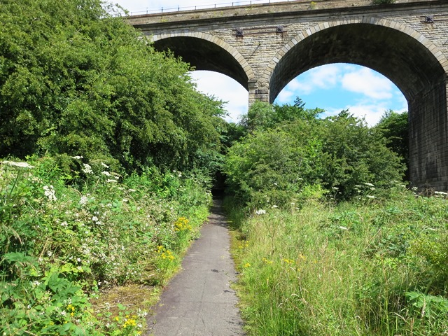
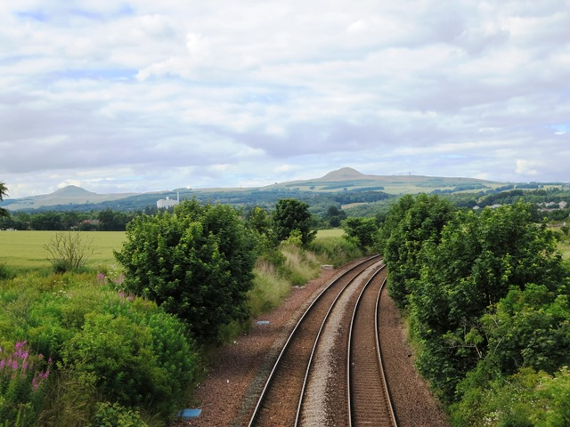
West Wemys via Barrel Brig: 5 miles/8km (one way) A mixed landscape walk including part of an old carriage road known as Queen Mary's Road that probably linked Wemyss Castle to Falkland Palace via Markinch. Please note that as of Sep 2022 this route is permanently closed due to the re-opened Levenmouth rail line. The document is now provided mainly for interest and information, though it is still possible to walk as far as the railway line. [Walk & Map] |
|
Quick Route to Glenrothes: 2miles/3.2km (one way) Does what it says on the tin. If you can't find what you need in Markinch this safe route will quickly take you to the centre of Glenrothes and supermarkets. [Walk & Map] |
|
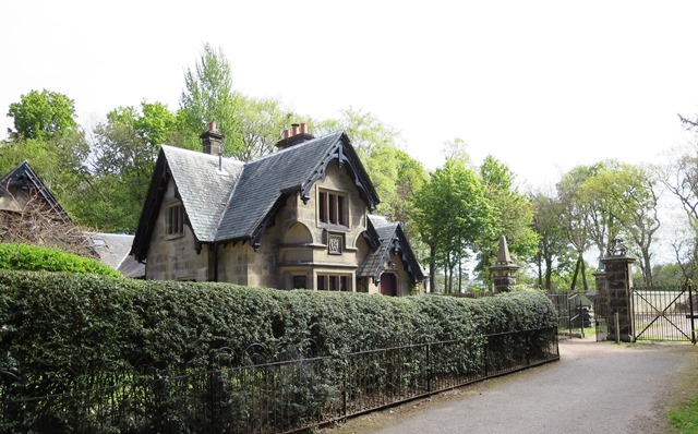
Prestonhall – Balbirnie - South Lodge: 2 1/4 miles/3.6km A circular route skirting the town by way of a former railway line, old coach road and part of Balbirnie parkland. [Walk & Map] |
|
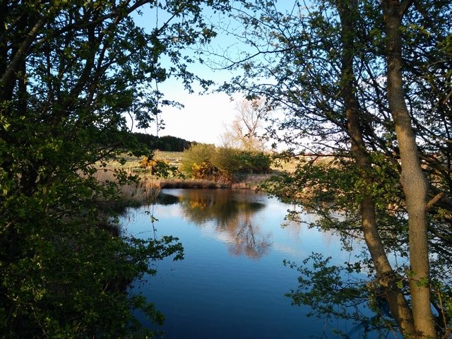
Balgonie Bleachfield Viewpoint & Leven Woods: 2 1/2miles/4km A short walk affording surprising views from atop a landscaped former landfill site, returning by a riverside. [Walk & Map] |
|
Woodside and Blue Bridge Circular: 3 miles/4.8km A circular route taking in an old railway line and through former lands of Bighty farm returning by River Leven. [Walk & Map] |
|
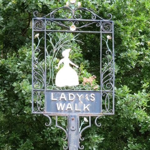
Woodside and Lady’s Walk Circular: 4 miles/6.5km A circular route through old Woodside, along a medieval path and track with lots of panoramic views, returning by River Leven. [Walk & Map] |
|
Braes Loan Circular Walk Enjoy a 2.5 mile/4km circular historical walking trail on the outskirts of Markinch which also provides spectacular views.
|

Other Walks
|
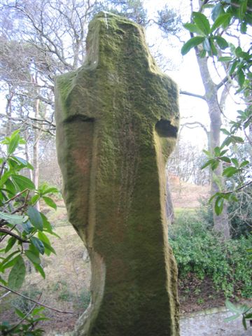
Kirkforthar Circular: 5miles/8km A largely rural walk taking in Cuinin Hill, Star Moss SSI, the ruins of Kirkforthar House and Chapel, a WW2 gun emplacement, the ancient Stob Cross and the mysterious Terraces of Markinch Hill. [Trifold Leaflet] |
|
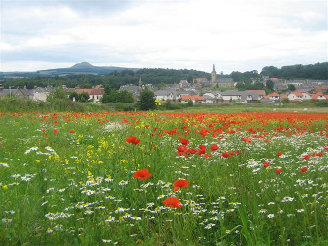
Town Trail Quiz: 1 1/4miles/2km Taking about an hour or so to complete it is entirely within the town giving you a flavour of its history and architecture. It's suitable for all ages and for families. The questions are just for fun! If stuck the answers are here. [A5 Leaflet] |
|
Place Name Walk: 2 1/2 miles/4km This walk around the historic settlement explores a varied landscape that connects with placenames created over a long period of time. Learn about the Pictish, Scots and Gaelic origins of many of Markinch's fascinating place names on this themed walk. [Trifold leaflet] |
|
Another Place Name Walk: 2 1/2miles/4km Same route as above but many more references, dates and detailed toponomy! [A5 leaflet] |
|
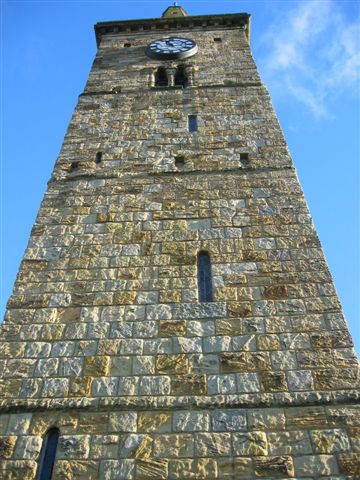
Coul Burn Walk: 3miles/4.8km (one way) This waymarked route (orange arrows) takes in St Drostan's Church, Markinch Hill, Stob Cross, Balbirnie House, Balbirnie Stone Circle, Balfarg Henge and Coul Den. From there Rhind Hill or further, the Lomond Hills can be accessed. [Walk & Map] |
Geodata Files
All walks except West Wemyss via Barrel Brig, Braes Loan and the Other Walks are available here as GPX and KML files so you can import them into your favourite application or device.
")